Technology
From sensors to autonomous driving
Cutting-edge technology covering every step of the autonomous transformation journey.
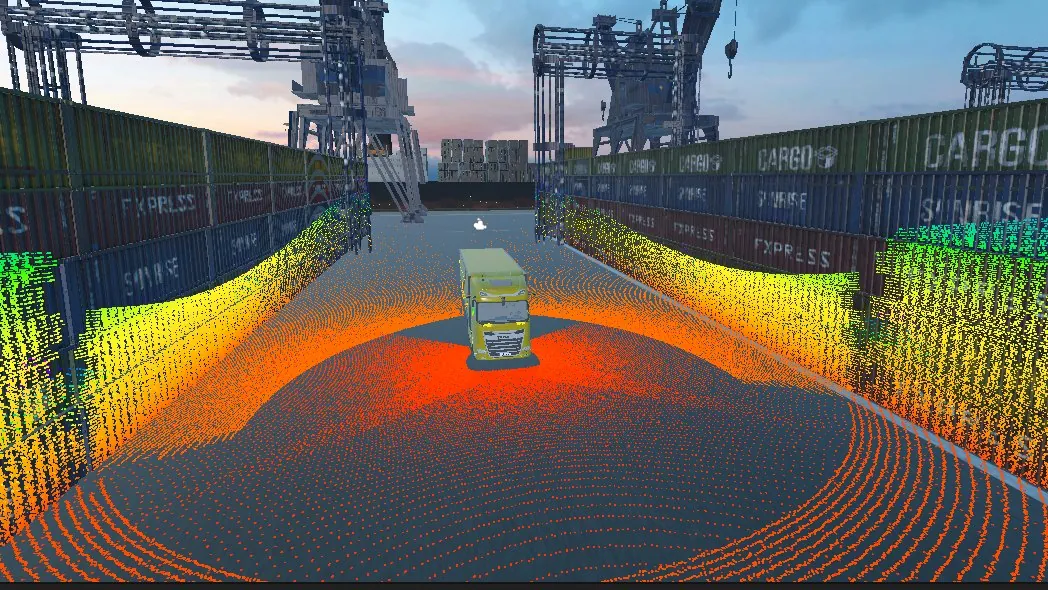
Simulation
The Autoware stack runs in customisable simulation environments such as urban roads, open-pit mines or industrial sites, so each scenario is tested in a virtual world before deployment, saving time and costs.
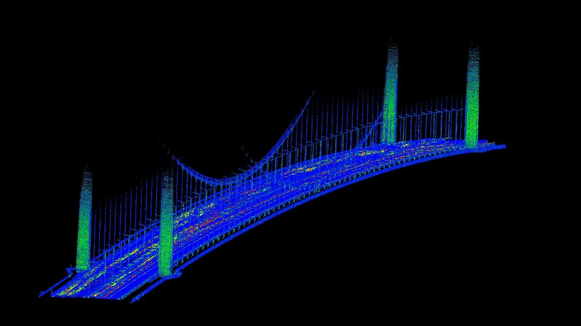
Map & Localization
By combining precision GNSS/INS and LiDAR technology, we achieve sub-decimeter accuracy. Localization is achieved through sensor fusion of GNSS/INS, SLAM, and Point Cloud Matching.
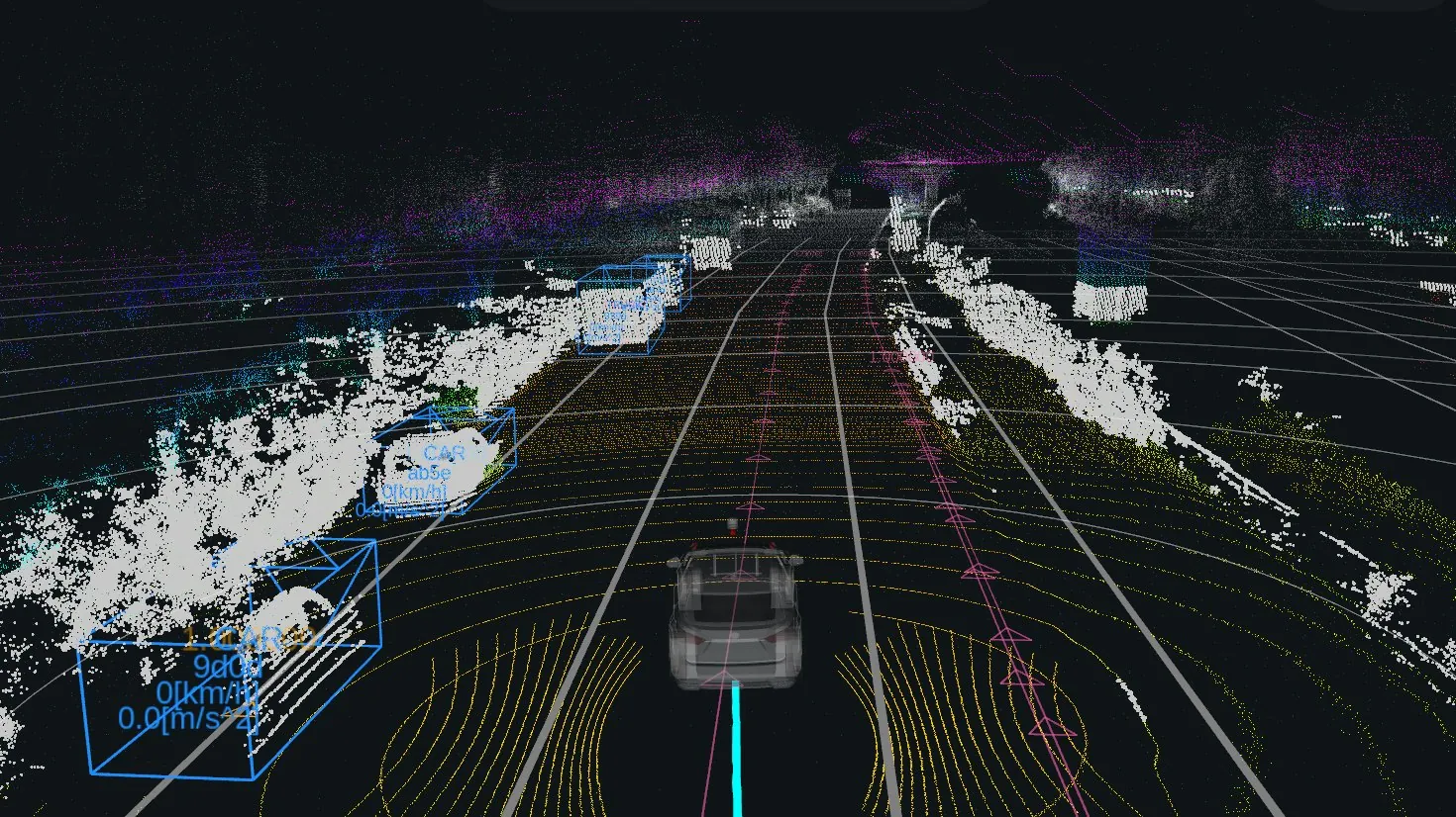
Perception
3D scene understanding using cameras, LiDARs, and radars to detect road users and infrastructure. We track and predict static and dynamic objects to ensure safe navigation.
Image: Autoware Foundation (Apache License 2.0)
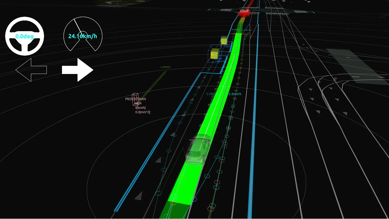
Planning
Global and local path planning with multiple goals, enabling vehicles to navigate smoothly without maps, avoiding dynamic obstacles and predicting future trajectories.
Image: Autoware Foundation (Apache License 2.0)
Planning an autonomous system?
Tell us about the vehicle and the task. Our engineers will propose the sensing, positioning, compute and control components and quote them.