

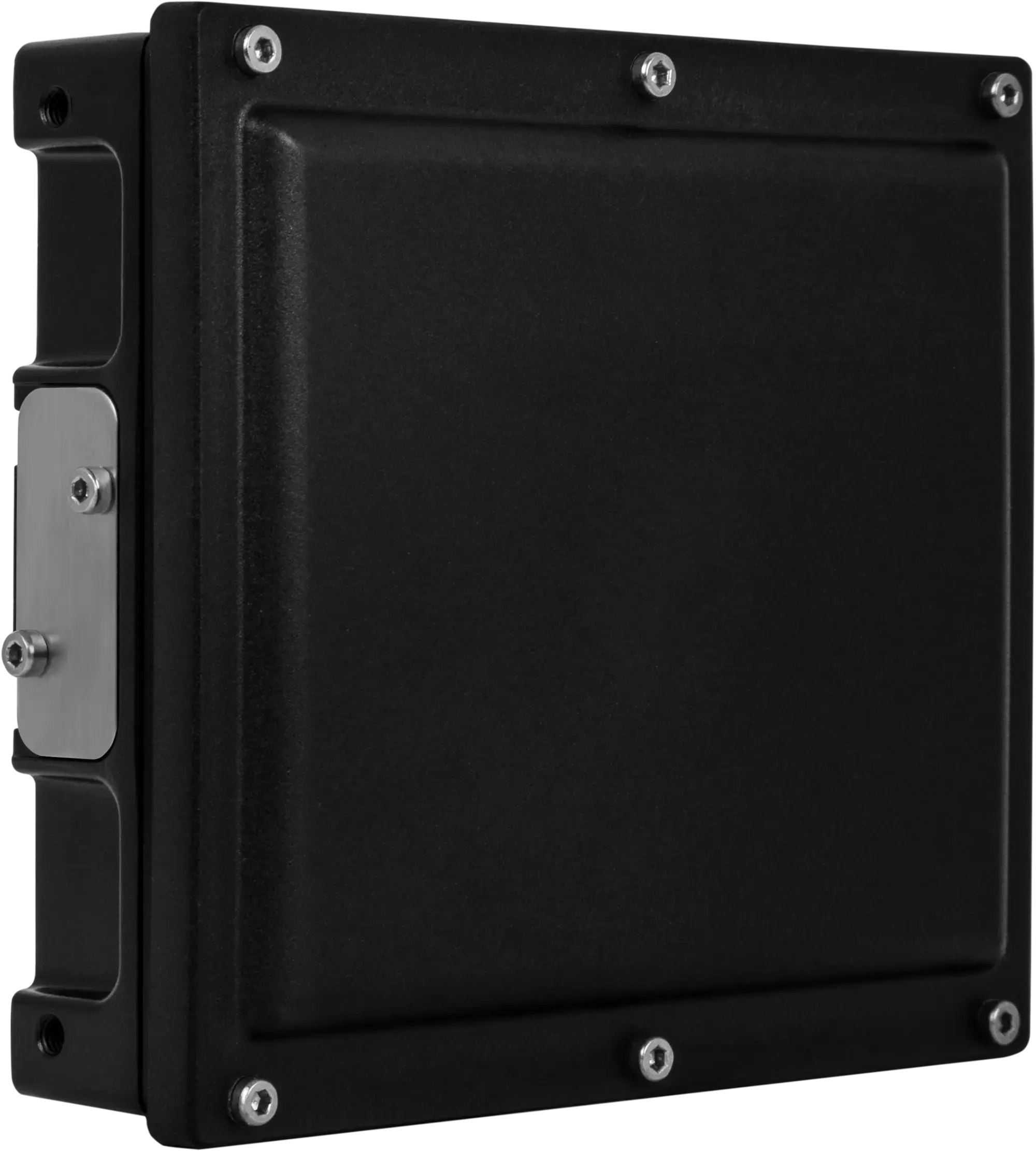
smartmicro Drone Altimeter
76–77 GHz Radar Altimeter for Small UAVs — 274 g, DroneCAN, PX4 & ArduPilot Ready
The smartmicro Drone Altimeter is a 76–77 GHz radar sensor built for small UAV platforms that need dependable height-above-ground data in GNSS-denied environments. It measures altitude from 1 m up to 175 m with automatic dual-mode operation, and integrates plug-and-play with PX4 and ArduPilot autopilots over DroneCAN.
At 274 g and 3.75–5 W it fits tight SWaP budgets, and its unbreakable, lightweight housing withstands the vibration, shock and temperature swings of airborne service. Made in Germany, ITAR-free and operating in the 76–77 GHz band approved in Europe, it is available in volume and in full series production — a practical choice for European drone manufacturers scaling to production.
Drone Altimeter Technical Specifications
Operating frequency | 76…77 GHz |
Minimum height | 1 m |
Maximum altitude | Up to 175 m (extendable to 500 m on request) |
Field of view (azimuth) | -16…+16° |
Speed accuracy | ≤ 0.1 m/s |
Update cycle time | ≤ 55 ms |
Power consumption | 3.75…5 W |
Interface | DroneCAN via 1 Mbit CAN |
Connector | Hirose LF10 series |
Weight | ≤ 274 g |
Dimensions (H × W × D) | 94.7 × 84.4 × 26.4 mm | 3.7 × 3.3 × 1 in (plus connector) |
Origin | Made in Germany, ITAR-free, not dual-use classified |
Why Choose the Drone Altimeter?
Built for GNSS-denied flight — radar altitude keeps working where satellite positioning and optical sensors do not.
274 g and 3.75–5 W — low weight and power for compact drone platforms with strict SWaP requirements.
Plug-and-play autopilot integration — DroneCAN over 1 Mbit CAN, compatible with PX4 and ArduPilot.
Automatic dual-mode operation — the sensor adapts its mode without operator intervention.
All-condition performance — stable in fog, dust and darkness, over water and complex terrain, and robust against electromagnetic interference.
Made in Germany, ITAR-free — not dual-use classified, using the 76–77 GHz band approved in Europe.
Production-ready — mature hardware available in high volumes for series production.
What Is the Drone Altimeter Used For?
Typical applications of the smartmicro Drone Altimeter include:
Industrial UAVs performing inspection and survey missions
Small UAVs and MAVs requiring lightweight altitude sensing
Precision landing, hover hold and terrain following
BVLOS and GNSS-denied operations
Series-production drone platforms for European manufacturers
Helicopters and fixed-wing aircraft needing low-level altitude awareness
Customisation and Integration Options
smartmicro offers the following adaptations for series programmes:
Customised housing, connectors and weight optimisation
Conformal integration into the aircraft structure
Additional interfaces (Ethernet or RS485) and protocols
Adjustable altitude and speed limits
Frequency agility and duty-cycle optimisation
Output options: altitude tracking, raw radar data for AI processing, first and ground reflection
Maximum altitude extended up to 500 m
High electromagnetic susceptibility robustness
Available Regions
Turkey
Frequently Asked Questions
What is the smartmicro Drone Altimeter?
The smartmicro Drone Altimeter is a 76–77 GHz radar altimeter for small UAVs. It measures height above ground from 1 m to 175 m, weighs 274 g or less, draws 3.75–5 W and connects to PX4 and ArduPilot autopilots over DroneCAN.
Does the Drone Altimeter work with PX4 and ArduPilot?
Yes. It is DroneCAN compatible over a 1 Mbit CAN interface and supports plug-and-play integration with PX4 and ArduPilot flight stacks, so no custom driver work is normally required.
How high can it measure?
The standard configuration measures up to 175 m, with a minimum height of 1 m. smartmicro can extend the maximum altitude up to 500 m as a customisation option.
Is it suitable for GNSS-denied environments?
Yes — that is a core design goal. The sensor provides height above ground independently of satellite positioning, and maintains stable performance in poor visibility, over complex terrain and in the presence of electromagnetic interference.
Is the Drone Altimeter export-restricted?
smartmicro states that the sensor is made in Germany, ITAR-free and not dual-use classified, and that it operates in the 76–77 GHz band approved in Europe. Confirm the current export status for your destination with Leo Drive before ordering.
How does it compare with the smartmicro Micro Radar Altimeter?
The Drone Altimeter is the lighter, higher-frequency option: 76–77 GHz, 175 m, 274 g, with DroneCAN and autopilot integration for small UAVs. The smartmicro Micro Radar Altimeter uses 24 GHz and reaches 500 m, which suits helicopters, fixed-wing aircraft and larger platforms.
How can I get the datasheet and technical documents for the Drone Altimeter?
The data sheet is available on the manufacturer’s website. You can also contact Leo Drive for full performance data, customisation options, pricing and integration support.
Explore More at Leo Drive
The Drone Altimeter is part of the Radar Altimeters range at Leo Drive. Browse all autonomous vehicle sensors and components, or talk to our engineering team about integration in your project.
