
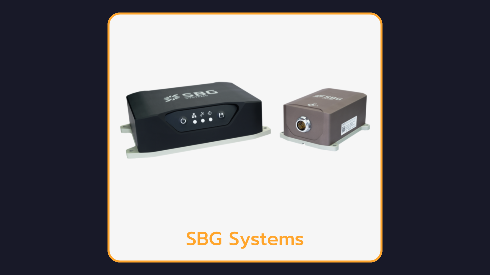

SBG Systems Navsight Land/Air: Motion & Navigation for Surveyors
Navsight Land-Air is a full high performance inertial navigation solution designed to make surveyors’ mobile data collection easier, whether it is terrestrial or aerial. It is is an extremely versatile solution. It consists in an Inertial Measurement Unit available at three different performance levels, and connected to Navsight, a rugged equipment embedding the fusion intelligence, the GNSS receiver, and all connections to external equipment such as LiDAR, cameras, computer, etc. Navsight solution is composed of various components that can be adjusted or configured according to your specific application needs. The IMU is the main sensing element and the most important performance driving factor. In case of good GNSS conditions and entry-level land-air survey, users can select the Ekinox IMU. In case of more challenging conditions, such as difficult GNSS environments or high altitude, the Apogee grade is the sensor of choice to maintain the best accuracy. For airborne survey with single antenna setup, or more generally, for ultimate accuracy, the Horizon IMU should be selected.
What Is the Navsight Land/Air Used For?
Typical applications of the Navsight Land/Air include:
Autonomous vehicle localization and sensor fusion
UAV, drone and eVTOL navigation and photogrammetry
Mobile mapping and land surveying, including GNSS-denied environments
Marine and hydrographic survey with motion compensation
Robotics and machine control requiring precise position, roll, pitch and heading
Frequently Asked Questions
What is the Navsight Land/Air?
Navsight Land-Air is a full high performance inertial navigation solution designed to make surveyors’ mobile data collection easier, whether it is terrestrial or aerial. It is is an extremely versatile solution.
Why use a GNSS-aided INS like the Navsight Land/Air instead of GNSS alone?
A GNSS-aided INS fuses inertial measurements with satellite positioning, so the Navsight Land/Air keeps delivering accurate position, roll, pitch and heading during GNSS outages — in tunnels, urban canyons or under jamming — where a standalone GNSS receiver would fail.
How can I get the datasheet and technical documents for the Navsight Land/Air?
Please contact Leo Drive to request the datasheet, user manual and other technical documents for the Navsight Land/Air.
Explore More at Leo Drive
The Navsight Land/Air is part of the Inertial Navigation Systems range at Leo Drive. Browse all autonomous vehicle sensors and components, or talk to our engineering team about integration in your project.
