
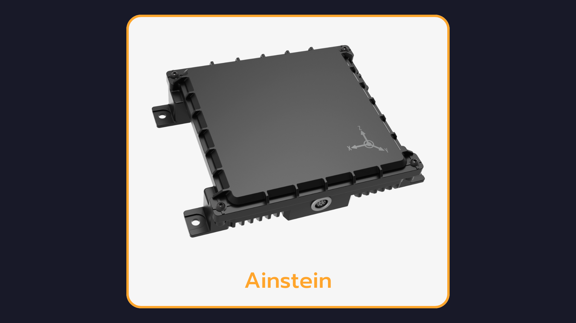
Ainstein LR-D1: UAV Long-Range Radar Altimeter
Reliable Altitude Sensing for UAVs
Ainstein LR-D1 UAV Long-Range Radar Altimeter offers accurate altitude measurement up to 500m, ensuring reliable performance even in challenging environments like stormy weather, over water, or in mountainous regions. With advanced cross-validation technology and a rugged IP67-rated design, this radar altimeter is ideal for UAVs, providing precise altitude and vertical speed data for safe takeoffs and landings.
LR-D1: UAV Long-Range Radar Altimeter Technical Specifications
Frequency: | 24 GHz |
Bandwidth: | 250 MHz |
Power Consumption: | < 11 W |
Operating Voltage: | 10 - 30 V |
Altitude Range: | 0.7 m - 500 m |
Altitude Precision: | 0.365 m |
Update Rate: | 40 Hz |
Field of View: | 43° Azimuth, 30° Elevation |
Operating Temperature Range: | -40°C ~ +60°C |
Dimensions: | 112 mm x 102.5 mm x 29 mm |
Weight: | 300 g |
IP Rating: | IP67 |
Interface Options: | RS-232 / RS-422 |
Why Choose the LR-D1: UAV Long-Range Radar Altimeter?
Rugged Design: A robust enclosure makes this altimeter ideal for most heavy-duty or tactical UAS applications.
Reliable Measurements at High Altitude: Large bandwidth allows for greater precision.
Designed for Industrial UAVs: Built for large, high-speed aircraft.
What Is the LR-D1: UAV Long-Range Radar Altimeter Used For?
Industrial UAVs (85kg+)
Advanced Take-Off & Landing
Tactical or Ruggedized Applications
Reconnaissance & Surveillance
Aerial Targets
Geophysical Surveying & Terrain Mapping
Defense Drones
Ultra-Heavy Lift Drones for Water or Cargo
Frequently Asked Questions
What is the LR-D1: UAV Long-Range Radar Altimeter?
Ainstein LR-D1 UAV Long-Range Radar Altimeter offers accurate altitude measurement up to 500m, ensuring reliable performance even in challenging environments like stormy weather, over water, or in mountainous regions. With advanced cross-validation technology and a rugged IP67-rated design, this radar altimeter is ideal for UAVs, providing precise altitude and vertical speed data for safe takeoffs and landings.
Why use a radar altimeter like the LR-D1: UAV Long-Range Radar Altimeter instead of barometric or GPS altitude?
A radar altimeter measures true height above ground level directly, unaffected by air-pressure drift or GNSS vertical error. That makes the LR-D1: UAV Long-Range Radar Altimeter the reliable choice for landing, hover and terrain-following phases of flight.
Where is the LR-D1: UAV Long-Range Radar Altimeter available?
The LR-D1: UAV Long-Range Radar Altimeter is available through Leo Drive in the following region: Turkey. For other regions, please contact Leo Drive.
How can I get the datasheet and technical documents for the LR-D1: UAV Long-Range Radar Altimeter?
You can download the LR-D1: UAV Long-Range Radar Altimeter datasheet directly: Datasheet (PDF). For the user manual, .step (CAD) file and other technical documents, visit the manufacturer’s website or contact Leo Drive.
Explore More at Leo Drive
The LR-D1: UAV Long-Range Radar Altimeter is part of the Radar Altimeters range at Leo Drive. Browse all autonomous vehicle sensors and components, or talk to our engineering team about integration in your project.
